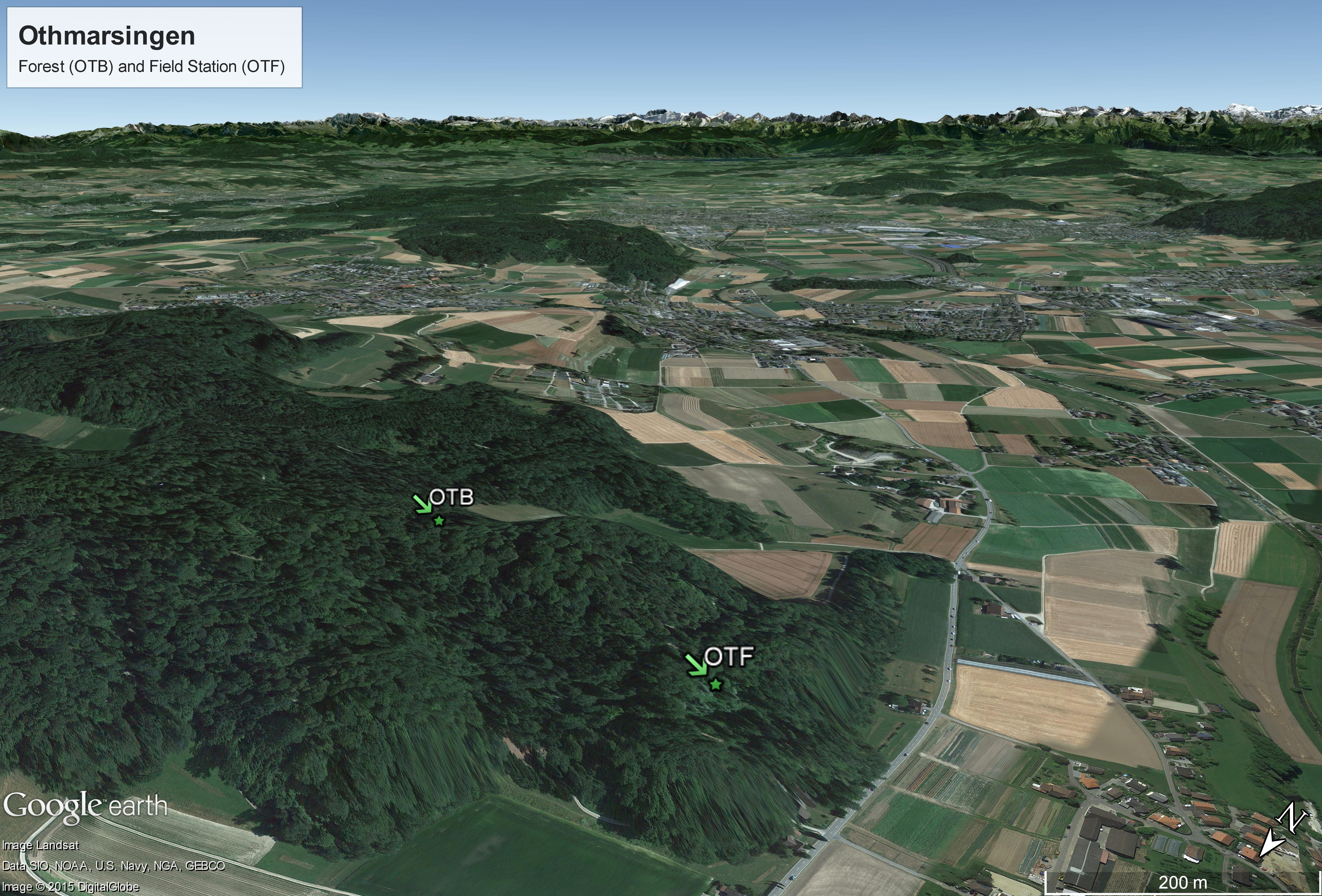
Site aerial photo (Othmarsingen)
Site aerial photo from both Othmarsingen stations. Source: Google. 2016. Site aerial photo from both Othmarsingen stations. Retrieved November 11, 2016, from https://www.google.ch/maps
Additional Information
| Field | Value |
|---|---|
| Metadata last updated | November 15, 2016 |
| Data last updated | November 15, 2016 |
| Created | November 15, 2016 |
| Format | JPEG |
| License | ODbL with Database Contents License (DbCL) |
| DOI | |
| Access Restriction | |
| Publication State | |
| Size | 7.33 MB |

