Thumbnail (JPG)
Dataset description:
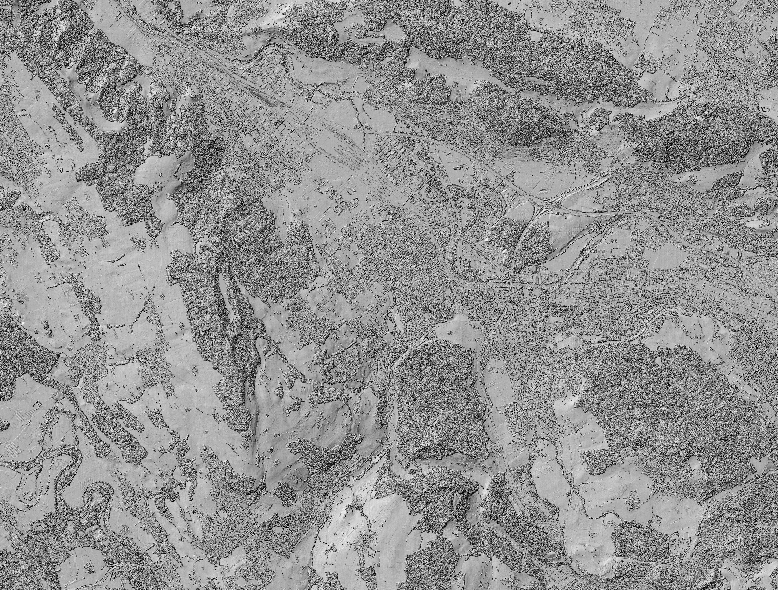
Hillshade of the digital surface model (DSM), calculated from digital aerial stereo images. The image data was acquired by the Federal Office of Topography swisstopo. The resolution of...
Additional Information
| Field | Value |
|---|---|
| Metadata last updated | April 3, 2018 |
| Data last updated | April 3, 2018 |
| Created | April 3, 2018 |
| Format | JPEG |
| License | Other (Specified in the description) |
| DOI | |
| Access Restriction | Level: Public |
| Publication State | |
| Size | 5.77 MB |